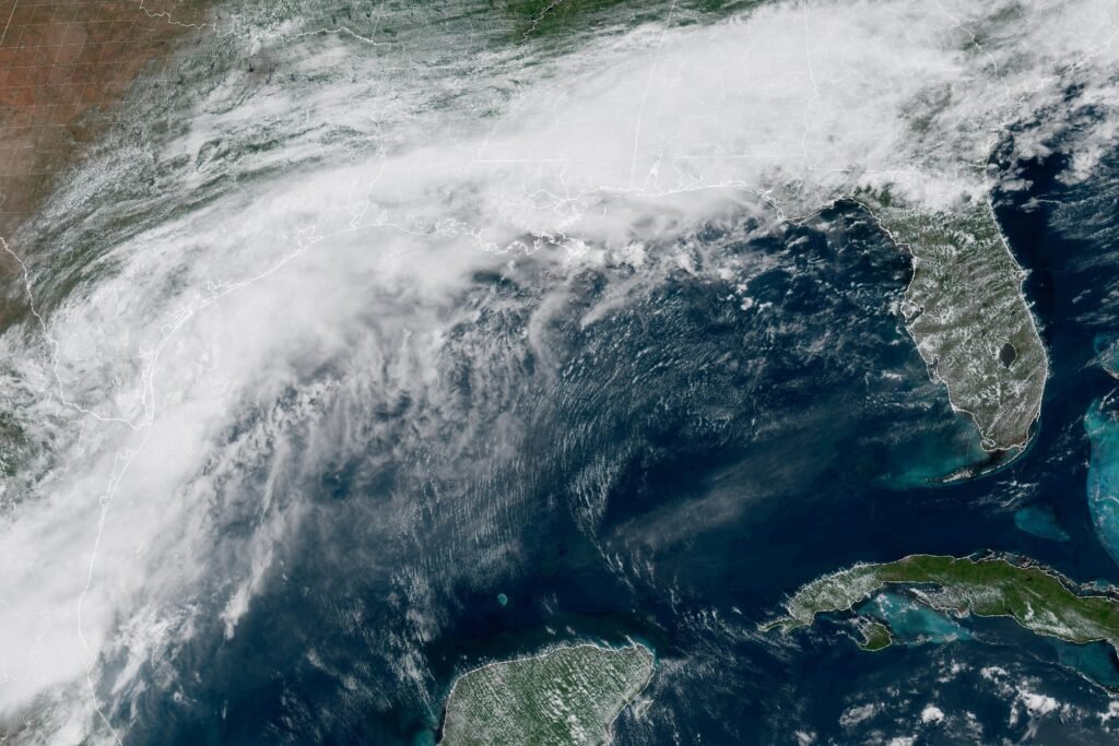
A disorganized rain system pushing across the Gulf Coast this week has caught the attention of forecasters in Miami – and it could end up with a name before the week is out.
The National Hurricane Center said the system is expected to dump heavy rainfall across several southern states, including Texas and Louisiana, through mid-week. Whether it organizes enough to earn the season’s first official name depends on how the system holds together over the coming days.
What forecasters are watching
The Hurricane Center, which tracks developing tropical systems from its Miami headquarters, has been monitoring the disturbance as it moves onshore. NOAA imagery shows the rain mass is still loosely organized. That’s the problem – and the question. Tropical systems need sustained wind structure to get named, and this one hasn’t locked that in yet.
If it does develop, it would be the first named storm of the 2026 Atlantic hurricane season, which officially began June 1.
For Alabama, the more immediate concern is moisture. Systems like this one tend to drag persistent rain bands well east of their center — meaning the Gulf Coast from Mississippi to Florida’s panhandle can see flooding rainfall even if the circulation never tightens. The National Hurricane Center hadn’t issued a formal watch or warning for Alabama as of the Tuesday, June 17 report.
The agency hasn’t said when it expects to make a classification call on the system.
Reporting by NPR. Read the original report.